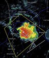
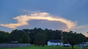
Not gonna lie, I'm jealous. Been awhile since I've seen it accumulate on the ground like that.This has escalated rapidly View attachment 197303

Not gonna lie, I'm jealous. Been awhile since I've seen it accumulate on the ground like that.This has escalated rapidly View attachment 197303


It was probably a top 10-15 storm.Not gonna lie, I'm jealous. Been awhile since I've seen it accumulate on the ground like that.


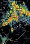

Very electric storm here. Quarter-third of an inch or so

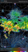

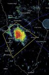
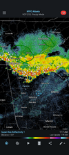
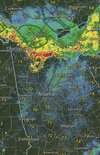
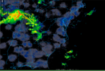
After all of the over performing events we have seen in the recent days, I wouldn’t be surprised if this made it all the way to Atlanta and even south of there some distance before it looses steam.Light show dropping south from Tennessee. I wonder how far south this will hold together?View attachment 197310

Light show dropping south from Tennessee. I wonder how far south this will hold together?View attachment 197310

 comically bad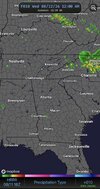

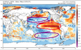
Lol nino aam. Will be interesting to see if this moves poleward and we get a blocky sept/oct

The NAM Hires called it all day though. I woke up to the single cell ahead of it but didn't for the main event.18z HRRR for midnight vs reality at midnight
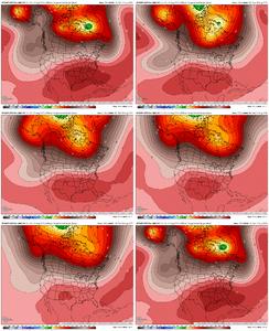
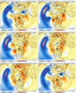
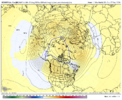
Got 500mb anoms for the eps?View attachment 197316 View attachment 197315
Honestly I would not be shocked to see at least a somewhat present STJ kicking into September, as we currently have a good thermal gradient in the Pacific that should remain if typhoons/storms can track over the current cool blobs ESE of Japan.

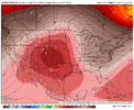

Robot euro is like the anti op euro in the long range
I noticed the op euro was about 15 degrees cooler next next weekend after it showed like 107 yesterdayRobot euro is like the anti op euro in the long range
Weeklies or reg. ensemble?Got 500mb anoms for the eps?
Special Message from NHC | Wed, 12 Aug 2026 14:20:27 +0000 |
| NHC will initiate advisories on Tropical Storm Cristobal (formerly AL93) located well west-southwest of the Azores, at 1100 AM EDT (1500 UTC). |
Special Message from NHC | Wed, 12 Aug 2026 14:21:18 +0000 |
| The National Hurricane Center will initiate advisories on Potential Tropical Cyclone One-C (formerly CP93), located about 1000 miles east-southeast of the Hawaiian Islands at 5:00 AM HST (1500 UTC). |
Both if you have themWeeklies or reg. ensemble?
Both if you have them
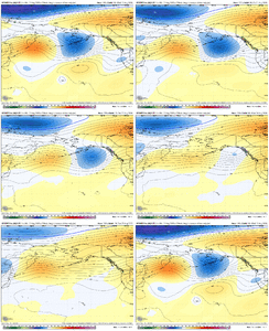
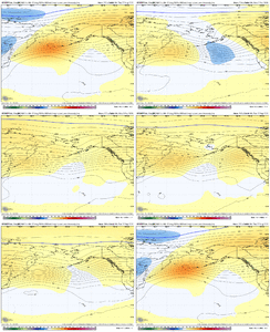
That might be the epitome of meh but the weak split flow signal out west is interestingI apologize if this is an absolute wall of GIFs lol; unsurprisingly, there isn't a great correlation here, especially with ensemble noise. There is definitely development of a troughing/LP system off of Alaska at the end of the run though—last run did this as well, but weaker. By that point, we've really cooled in the troposphere for changes to probably kick in faster; lower MSLP as well is shown off into the Central and Eastern Pacific, as the Seasonal suggested.
View attachment 197326View attachment 197327
View attachment 197329


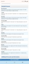
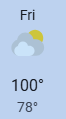
Unfortunately it likely will. Even if we in GA do not verify >=100F, it'll still be hell as is the usual for mid-August's "last stand" of summer.There is no way it gets as hot as forecast in the coming days with this much soil moisture, if it does we would basically live on the coast of Iran.