Yeah… it looks like a pattern where we don’t get too dry, but we may have to deal with a wudge every few days. The good news is we’re getting to the time of the year where even a stronger wedge still means 60 degreesGood news it isn't going to take a lot to make this 84/66 again bad news it's not going to take a lot to make it 54/54 and drizzle. On the bright side a lot of rain on the euro I'd love a wet first half of May
-
Hello, please take a minute to check out our awesome content, contributed by the wonderful members of our community. We hope you'll add your own thoughts and opinions by making a free account!
You are using an out of date browser. It may not display this or other websites correctly.
You should upgrade or use an alternative browser.
You should upgrade or use an alternative browser.
Pattern April Thread
- Thread starter SD
- Start date
That was a beautiful 12z EURO run...
Oof 
I told y’all it was breezy up here! ????
Not DBQ, but close enough! March and April are always windiest months!
Not DBQ, but close enough! March and April are always windiest months!
Shaggy
Member
Big difference between the 3k nam and hrrr for my neckmof the woods tonight. Hope the 3k is correct
NBAcentel
Member
Oh 

00z was yet another beautiful EURO run.
LickWx
Member
We need it, I need that crappy cold ocean water off the mid atlantic coast and ne to warm up so we can quit cadding. Water up there is still in the frickin low 50s off Maryland. NE wind off that is brutal, I need it warmer. Wrightsville is nice though, water temps getting close to 70 now!
NBAcentel
Member
Lol those 100 degree weenie runs are right around the corner 
CopeWe need it, I need that crappy cold ocean water off the mid atlantic coast and ne to warm up so we can quit cadding. Water up there is still in the frickin low 50s off Maryland. NE wind off that is brutal, I need it warmer. Wrightsville is nice though, water temps getting close to 70 now!
Lol those 100 degree weenie runs are right around the corner View attachment 117701
That 06z GFS run was perfection.
How's the storm threat looking for today?
Looks hit or miss tbh .. NAM more excited but I bet some miss out and some luck out.. isolated damaging wind bursts in a few wet microbursts and maybe some hail mainly further north and east you areHow's the storm threat looking for today?
Last edited:
Z
Zander98al
Guest
Beautiful few days capped with a morning rain today. Amazing low humidity spring temps over the weekend! ?
Had to update my location on here forgot to do it. So now I'm not in the tornado belt that is the northern portion of Jefferson county but more so on the east/ northeast side of Jefferson county the more dead zone. ?
Had to update my location on here forgot to do it. So now I'm not in the tornado belt that is the northern portion of Jefferson county but more so on the east/ northeast side of Jefferson county the more dead zone. ?
Same guy....Cope
We need it, I need that crappy cold ocean water off the mid atlantic coast and ne to warm up so we can quit cadding. Water up there is still in the frickin low 50s off Maryland. NE wind off that is brutal, I need it warmer. Wrightsville is nice though, water temps getting close to 70 now!
Am I the only one who goes swimming in polar temps and water ? Come on weenies ! I’ll go swim in snow butt naked for y’all tomorrow !
NBAcentel
Member
Already got some strong thunderstorms with hailcores Firing up 
LickWx
Member
I’m talking about Atlantic Ocean water temps to the northeast of us … I’ll swim in em but why the heck would I ever go to a beach up there ? Besides it’s so we don’t CAD. Warm those waters up so next time we get a northeast wind it’s blowing off water in the 60s not the dang 50s .Same guy....
Fro pants explosion 
These could be the interesting cells of the day as they move into central and eastern NC and further north.. line behind looks outflow driven and meh .. still only few will get lucky with some hail cores or microbursts.. hoping Raleigh scores! 
Definitely seeing some bubbling east of town. A little more height to some of these cu than I expected this early in the day
LickWx
Member
84/65 juicy baby
These could be the interesting cells of the day as they move into central and eastern NC and further north.. line behind looks outflow driven and meh .. still only few will get lucky with some hail cores or microbursts.. hoping Raleigh scores! View attachment 117709

Nice
LickWx
Member
Charlotte feeding the Raleigh storms . We like ! Charlotte uhi feeding storms for Raleigh ftw!
Hopefully will catch some lightning or structure from up here. It’s a very summery day
Hmmmm just as warnings are popping off, I honestly don't understand sometimes.
Concerning...Severe potential...Watch unlikely
Valid 261759Z - 262000Z
Probability of Watch Issuance...5 percent

Concerning...Severe potential...Watch unlikely
Valid 261759Z - 262000Z
Probability of Watch Issuance...5 percent
Too much pulse. You can see the up draft go up on the ILM radar then the lightning starts then it weakens/collapses and a new updraft gets going to the east with a new lightning cluster. Probably going to get a few hail reports where these updrafts really max out and a few wind reports where the collapse but mehHmmmm just as warnings are popping off, I honestly don't understand sometimes.
Concerning...Severe potential...Watch unlikely
Valid 261759Z - 262000Z
Probability of Watch Issuance...5 percent
A solid preemptive strike! Light it up! 
Iceagewhereartthou
Member
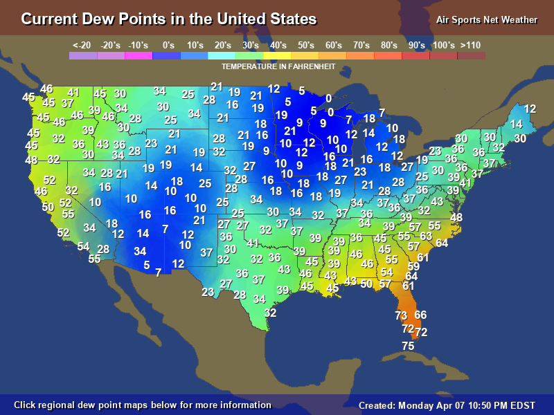
Dews are down to the mid 50s here now after a rather muggy couple of days. Hoping those cooler dews make it over the mountains. These next few nights in the 40s are gonna be awesome!
NBAcentel
Member
Loving those consistent 80s/50s and 60s showing up 

A bit of a cold pool is starting to develop with that time moving through Raleigh-Durham.
Should enhance the wind threat.
Should enhance the wind threat.
geee wizzzz this thing blew up outta no where .. talk about right place at the right time! 
Getting a good storm here in north Raleigh.
NICE
RDU down 22F in an hour w/ 40mph gusts
Downeastnc
Member
They love them some blanket warning at the Raleigh office....

Last edited:
.16
Shaggy
Member
Blowing dust is a problem here with this gustfront. Reduced visibility is real here. Got a couple of videos.
HurricaneSolomon
Member
- Joined
- Dec 6, 2021
- Messages
- 154
- Reaction score
- 276
Blowing dust is a problem here with this gustfront. Reduced visibility is real here. Got a couple of videos.
We had the same here. Dust/dirt flying around all over I-40 close to RDU airport.
Sent from my iPad using Tapatalk
Downeastnc
Member
Managed to avoid the first 90 degree day with a 88....looks like we won't have to worry about it again for a few weeks.