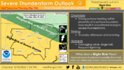
Potential for some mcs development from TN into the Carolinas
-
Hello, please take a minute to check out our awesome content, contributed by the wonderful members of our community. We hope you'll add your own thoughts and opinions by making a free account!
You are using an out of date browser. It may not display this or other websites correctly.
You should upgrade or use an alternative browser.
You should upgrade or use an alternative browser.
Severe 5/19/22 severe
- Thread starter SD
- Start date
Shaggy
Member
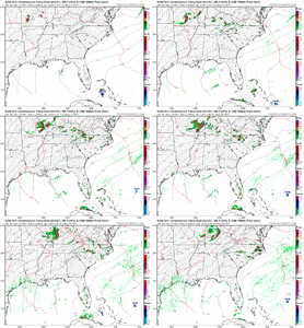
Seems the FV 3 hi res is the most aggressive right now.Potential for some mcs development from TN into the Carolinas
These storms certainly have the potential to bring very large hail and above the usual damaging wind threat as well. If coverage grows more on modeling tonight and into tomorrow then not only is an enhanced risk possible but a PDS Severe wouldn’t be out of the question
Bannerdude
Member
Downeastnc
Member
One of those setups where the ones that do go up have the potential to be big wind makers.....wouldnt take much of a bowing line segment to make for a interesting afternoon.
The bust potential tomorrow is pretty high imo. If any early day mcvs are more well defined than modeled we are likely to see the convective coverage be shifted south or less due to subsidence and potential debris clouds. If the early day waves are weaker and the trailer waves move through near peak heating some of the models with limited coverage will likely bust too dry
18z nams are an oof buffet
Shaggy
Member
feast or famine. FV 3 crushes most of us the 3k and long range hrrr are nothing at all.18z nams are an oof buffet
21z RAP has a nice mcv rolling through.feast or famine. FV 3 crushes most of us the 3k and long range hrrr are nothing at all.
I love this setup when it goes right but we haven't been able to get it right for quite some time
Downeastnc
Member
So far I am team FV-3 for this afternoon as it holds onto that nice cluster....
Looks like we have a couple differential heating boundaries and maybe a couple left over ofbs upstream. No discernable mcv to track upstream leaves me not entirely confident we can get an organized mcs to roll through. Gotta watch the splitting cell along the nc TN border and some of the bubbling CU in that area to see if maybe that begins to take off
We might finally be taking off
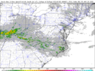
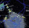
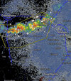
Wonder how far south I'll have to drive to see 1" amounts? I'll probably see the rain wall out my front window lol3k gets going and looks somewhat realistic based on radar View attachment 118587
I think anyone around here will be lucky to even get a storm today.
Downeastnc
Member
Welp
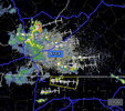
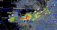
Minor MCS along the VA/NC boarder, best guess, working east of Danville.
81.5/70.3, massive ridge inbound.
81.5/70.3, massive ridge inbound.
At this rate summer 2023Wen storms. Lol.
Downeastnc
Member
Minor MCS along the VA/NC boarder, best guess, working east of Danville.
81.5/70.3, massive ridge inbound.
Maybe Nam 3k had it right with the nasty little cluster hitting here around 12-1 am....
Went from a level 2 threat to nothing in leas than 24 hours.
Yep 74/70 tons of low level moisture to work with, it's an extremely balmy night. Been loud too with that little storm, no rain yet
Freaking took long enough
HSVweather
Member
Geez probably another hour and a half away on that line
NCSNOW
Member
Big Hailstorm here. On my 1 month old new roof that just got repaired because of hail damage.
GarnerNC
Member
Took that one on the chin! Hail woke me up from a dead sleep.
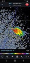
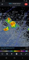
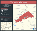
Slow mover. Just went under a warning. We will seeSeeing reports of half inch hail out of the storm south of Raleigh, any verification of that?
You will get it before me so let me knowSlow mover. Just went under a warning. We will see

