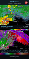
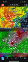
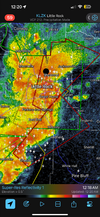
3 consecutive days of High Risk for flooding over AR. Crazy.
-
Hello, please take a minute to check out our awesome content, contributed by the wonderful members of our community. We hope you'll add your own thoughts and opinions by making a free account!
You are using an out of date browser. It may not display this or other websites correctly.
You should upgrade or use an alternative browser.
You should upgrade or use an alternative browser.
Severe 4/1-4 2025 Severe Weather
- Thread starter SD
- Start date
howboutthemdawgs
Member
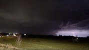
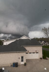
Watched this pass close!This looks pretty suspect imo. Surprised there’s no warning just in case View attachment 172306
NWMSGuy
Member
Another rough day today
BufordWX
Member
NWMSGuy
Member
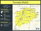
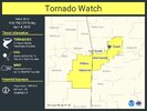
So crazy to see.3rd day in a row Nashville is under a tornado watch.View attachment 172328
NWMSGuy
Member
In addition to the Severe Weather here, looks like the rains overnight into tomorrow are going to be extreme:
From the Memphis Afternoon AFD:
Alongside the severe weather, significant and possibly
destructive flash flooding is likely starting today that will last
into Sunday across much of the Midsouth. PWATs currently sit above
the 99th percentile (1.8"-2") here and upstream towards the Gulf.
Strong integrated moisture transport and training convection will
aid in very heavy, long-lasting rain rates starting this
afternoon. Mean storm motion is not expected to change much
between tonight and Saturday evening. Expect north/south bands of
significant rainfall. Furthermore, much of the region has already
experienced 4-7 inches of rain. These saturated soils will fail
to contain new rainfall accumulations which are expected to be as
high as 6-10 inches through Sunday over western Tennessee,
Arkansas, and extreme northern Mississippi. Any areas that have
already experienced this rainfall will flood quickly. So heed
warnings immediately!
BufordWX
Member
Downeastnc
Member

