Shaggy
Member
Not sure I can remember a storm that produced TS force and H force winds to a location for almost 72 hours straight. Maybe Mitch or Dorian but Sinilauku sat over Saipan/rota/Guam for a very very long time.


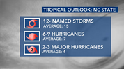

I doubt the trof is dominant in summer, though it would be nice to cut down on the heat. We have had an East coast trof for years now even with strong Nina'sI think the shear puts a lid on the Atlantic and we have a much BN year. This EC trough we just started for closing out April into May is perhaps a percussor of things to come over summer and fall 2026
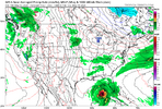


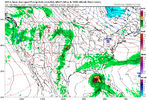


Drought buster!

Big bend to Naples. That’s been a track favorite for a few years.

The Ole GFS with its annual Central American gyre spinoff. Sooner or later, it'll get one to work out.

Yes. The GFS is coupled.Does the GFS take in account for the colder waters from this years winter and spring?
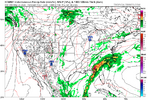
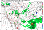
That would go a long way to help with the drought situationEuro now also showing something trying to form the first few days of June View attachment 196159
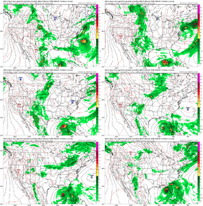
The GFS remains insistent on spinning up a CA gyre spinoff. The genesis of the circulation is now within a week, so it deserves a bit more attention. There is some support from the CMC, but the EURO isn't biting.
If nothing else, rain chances in the SE US look to remain elevated.
View attachment 196174
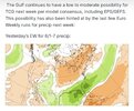
Nice storm whipping into New EnglandThe GFS remains insistent on spinning up a CA gyre spinoff. The genesis of the circulation is now within a week, so it deserves a bit more attention. There is some support from the CMC, but the EURO isn't biting.
If nothing else, rain chances in the SE US look to remain elevated.
View attachment 196174
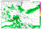
GFS for Monday:
View attachment 196178
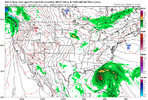
Here’s the first of the season always good Levi Cowan tropical videos:
I liked how Levi showed a map of landfalling hurricanes in El Niño years in this video. A sobering reminder that even though overall activity is likely to be reduced, some bangers still can occur.
Michael, Camille, and many other devastating hurricanes occurred in El Niño years.
I think this will be a hard year to predict. I know El Nino will hurt the season. Nhc over the last 10 years has increased their naming of sheared out naked swirls so I could see more named storms than in a typical Nino but far less hurricanes. Just never know what the nhc will throw a name on.My ‘26 season Atlantic tropics prediction:
8/4/1 and ACE of 52
Does anyone else want to predict? If we get enough I’d think we could turn this into a nice little fun board contest. If so, I’d push to get guesses in by, say, Friday or so. I don’t know of anyone else here with a prediction.

That's a good point. Names handed out like candy make the total number difficult to predict. We've already seen a big plume or two of dust and the MDR is still below normal. But shear will likely be the big deal this year. Still just takes one or two to make a memorable season.I think this will be a hard year to predict. I know El Nino will hurt the season. Nhc over the last 10 years has increased their naming of sheared out naked swirls so I could see more named storms than in a typical Nino but far less hurricanes. Just never know what the nhc will throw a name on.
12/5/2 82.1Anyone else want to enter this little forecasting contest for the ‘26 ATL tropics? Please try to get in by Sunday evening. The winner wins a very nice kudos! What’s better than that?!
Entrants:
Me 8/4/1 ACE 52
BeachDMD 6/3/1 46
lexx 13/7/2 95.37
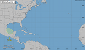
Maybe after years of dire predictions of east coast threats we will finally get one in a super el ninoIt doesn't send mixed signals to me at all. The reason the season will be suppressed isn't because of SST but the decapitation of systems due to the shear El Nino produces. The SSTs can be 20 degrees above normal but if any development is met with 40kts of shear it doesn't matter.