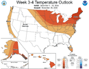
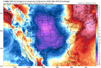
Allan shared this is his longer range update today .
Sent from my iPhone using Tapatalk

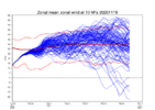
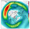
Follow-up: today’s Euro Weeklies continue the trend toward not as strong an SPV later in the run:

Allan shared this is his longer range update today .
Sent from my iPhone using Tapatalk


We can all hope to get something wintry before FebruaryMy personal takeaways are even though December looks better than previous runs, I still believe(and as others have mentioned )that mid-late winter(esp February) is our best shot to score. Given that another SSW is forecasted to occur sometime in January and as some of the atmospheric patterns change particularly the Canadian ridge shifting into a favorable position allowing for colder air to come south, FEB seems the main focus for wintry weather. All we can do is watch and wait. Regardless, it looks to be a busy three months ahead regardless of severe/winter weather and prospects for rainfall in the hyperactive southern stream.
Sent from my iPhone using Tapatalk


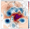
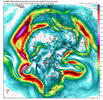
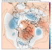

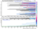

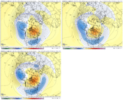
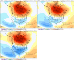
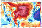
Cold temperatures likely to be a challenge this winter, but seeing these kinds of trends would help. This is the trend on Euro Weekly for Dec 6-13 for model run on Nov 10, Nov 15, and today's Nov 20 run
View attachment 199919
View attachment 199920

Be nice to move that blue pig back off the west coast more.


I’m keying in on “early December” whatever that means exactly. I don’t mind wasting non prime climo. Just give us the goods when it’s peak climo and I’ll be very happy. Hopefully the parade of lows just won’t stop when it’s time.Sweet. Not the first warmest - just almost the first warmest. Good news for us, I guess.


Dude it's only November the....I like how the atmosphere is throwing us no wildcards right now. Just straight strong el nino garbage with stale marginal cold air. Got to go 8 miles into the atmosphere just for it to snow at 38 degrees. Unreal.
I know I know.. it's only November 20th

First it’s only November then next thing you know it’s already FebruaryDude it's only November the....
Oh wait

And you're living in a van DOWN BY THE RIVER!First it’s only November then next thing you know it’s already February


With no snowAnd you're living in a van DOWN BY THE RIVER!
What you expect from a super El Niño that’s headed to be the strongest over 50I like how the atmosphere is throwing us no wildcards right now. Just straight strong el nino garbage with stale marginal cold air. Got to go 8 miles into the atmosphere just for it to snow at 38 degrees. Unreal.
I know I know.. it's only November 20th
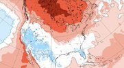
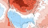
The trend shown above by @griteater on the WB Euro ens extended mean from 5 days ago is real toward more + PNA/-NAO, which I love seeing. However, I advise caution about the actual WB Euro 2m and H5 due to a cold bias when comparing to the actual ECMWF Euro ens extended/Euro Weeklies as I’ve posted about in the past based on several analyses I’ve done.
So, when the new ECMWF’s Euro Weeklies are released later today, they’ll almost certainly show a notably colder 12/6-12 than they did yesterday (good trend for those who prefer cold). However, the original source/ECMWF Euro Weekly 12/6-12 2m map will almost certainly not be as cold as what this WB map has because these WB maps are biased too cold.
It will be interesting to see what ECMWF releases this afternoon!
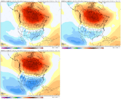
I feel every bit of thisI like how the atmosphere is throwing us no wildcards right now. Just straight strong el nino garbage with stale marginal cold air. Got to go 8 miles into the atmosphere just for it to snow at 38 degrees. Unreal.
I know I know.. it's only November 20th


Didn't it? You see all those blues GaWx just posted?But wait, the early SSW event was supposed to save winter!
Sometimes it’s hard to see the forest through the trees!Didn't it? You see all those blues GaWx just posted?

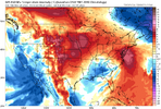
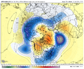
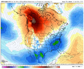
That’ll do
 SSWISLIFE
la flama decembre! SSW4LIFE
I already doJust a hunch. I have a feeling a lot of us will be missing a La Niña come January
Sent from my iPhone using Tapatalk