These cells got messy here, no wind just decent rains



 ) but my guess is around Brier Creek from that warned area near the Durham/Wake line earlier.
I'm pretty sure I lived in that complexCan't tell where that was (we got like hundreds of apts that look just like that
Where at? Quit being a tease.I'm pretty sure I lived in that complex
Looks like maa brier falls so that rotation would have been riding up 540 from like aviation parkway to lumley then glenwood. Looking at it again I'm not certain it didn't have the signage on the front of the office like that one but the detached garage and trees looked similar, apt complexes all look the same these daysWhere at? Quit being a tease.
Reckon it could have been on the other side of Wake?
Truth. It's all apts, townhomes, and business parks there anyway. I assume no touchdown since we would have heard about it by now. Cool video still.Looks like maa brier falls so that rotation would have been riding up 540 from like aviation parkway to lumley then glenwood. Looking at it again I'm not certain it didn't have the signage on the front of the office like that one but the detached garage and trees looked similar, apt complexes all look the same these days



 waterdata.usgs.gov


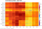
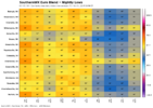
Coooool Graphics!
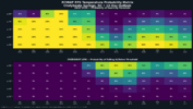
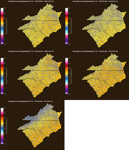
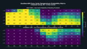
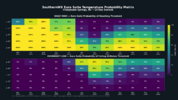
Warmerlooks like the AI's may be colder than the physics def pulled the overnight low % down View attachment 198834
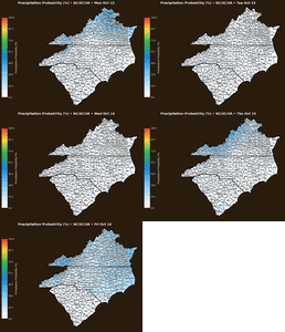
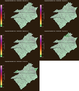
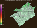
I'm reseeding fescue this week. Is there no appreciable rain on the 16 day forecast at all here?


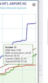

Shoot, you're in good shape bruh
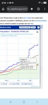
Yeah you're in worse shape for sure. I'm glad we got so much in August cause we would be 30 inches behind if not.Shoot, you're in good shape bruh
View attachment 198871
Yup...you are correct. Here in Brevard we had to go to 6K to get foliage. But, it was stunning.Oct 13th Fall Foliage report:
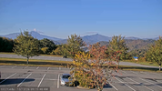
Scanning the webcams / thinking about hitting the parkway this weekend so I can get stuck in traffic jam lol. But its kinda looking just meh up there currently. Looks stripped on top of Beech mtn summit cam from the past weekends wind/rain.
View attachment 198867
Yeah man the last 13-14 months have been about as bad as it gets, I thought missing the big snow in Jan was going to be the peak but no no we were just getting started.I hate our weather
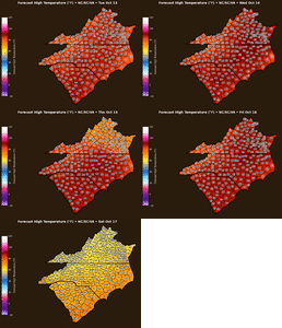
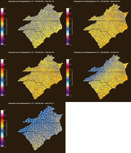
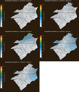
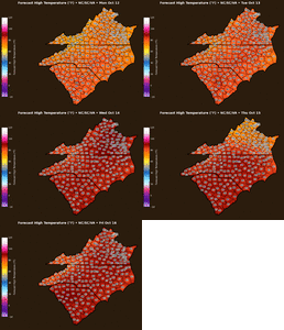
Slightly cooler Monday on
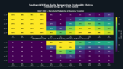

Cumberland had an ef 2Tornado on Sunday in Candor, NC in Montgomery County was a confirmed EF-2. That’s the strongest I’ve seen from the confirmed tornadoes in NC on Sunday.