Regulators! Mount up


way too much agreement on the models has to be totally wrongthere's rumblings of the first honest to goodness northwesterly winds cold front out there in the first 7 days of Octorch

Regulators! Mount up



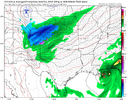

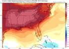
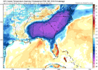
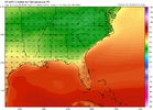
Yep. It’s not a slam dunk at this point makes itLooks like the possible fall front in October is going to have to battle the SE ridge at least going on the temp map hah. Hopefully it wins.
I know I saw someone in the other thread say that forecasting has been terrible lately, well, the Nor'easter pumping cooler air seems pretty decided this week. It's after next week that seems undecided.

Like a GFS Plains BlizzardModels have a bunch of recurves across the pacific in the next 2 weeks. Probably going to get some wild run to run changes and some super amplified runs. Enjoy
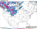
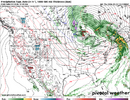

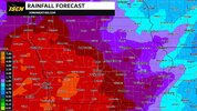
I'll take this, down here near NOLA!Folks like Brent, Mack, the guy in IL, the guy in Shreveport, the N MS/N AL crowd, and the TN folks are sitting pretty if you like cool the week of 10/5-11 when looking at this very non-bleak week! Is this beautiful or what?!
View attachment 198272
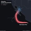

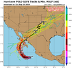
Nothing like a TC landfall in a desert.Yeah this is gonna mess with the models for sure View attachment 198275


97,82,15 are probably my favorite analogs right now, all 3 were fun Octobers with heat, cool, frost potential, decent to high precip events.At least it looks like Something Will Happen in early-ish October whereas 67% of September was boring hellscape
October is usually driest month of the year. . We seeAt least it looks like Something Will Happen in early-ish October whereas 67% of September was boring hellscape
Mother nature moved it to September this year.October is usually driest month of the year. . We see
Wish work like that lolMother nature moved it to September this year.
It's possible for us, strong ninos composite out BN but the strongest of the ninos do come out about 1 inch ANMother nature moved it to September this year.

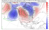
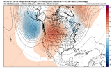
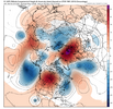


Gotta love a recurring typhoon or two.That’s a pretty impressive trend to a strongly +PNA in early Oct. Ai guidance is really liking that WCAN ridge. To bad it ain’t wintertime could maybe walk away with a Manitoba mauler or Ontario onslaught if you shortened this up some more View attachment 198282View attachment 198283View attachment 198284
Fall, is that you playaGotta love a recurring typhoon or two.
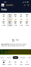

Combine that with a little frozen meteor smoke and we may be in businessGotta love a recurring typhoon or two.
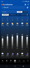
But it’s accuwesther lolMaybe Polo or whatever the Pacific is doing is gonna usher in fall?View attachment 198295
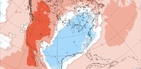
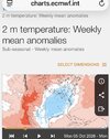
The new Euro Weeklies map for Oct 5-11 actually has a slightly stronger chill signal than yesterday’s map showed (perhaps helped by Polo going up and out):
View attachment 198289