• Hello, please take a minute to check out our awesome content, contributed by the wonderful members of our community. We hope you'll add your own thoughts and opinions by making a free account!

Tropical Tropical Storm Edouard

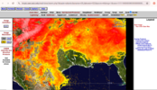
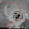
The image above is newer, but this is animated.

20262440110-20262440640-ABI-AL052026-DayNightCloudMicroCombo-1000x1000.gif
 
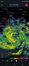
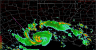
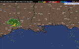
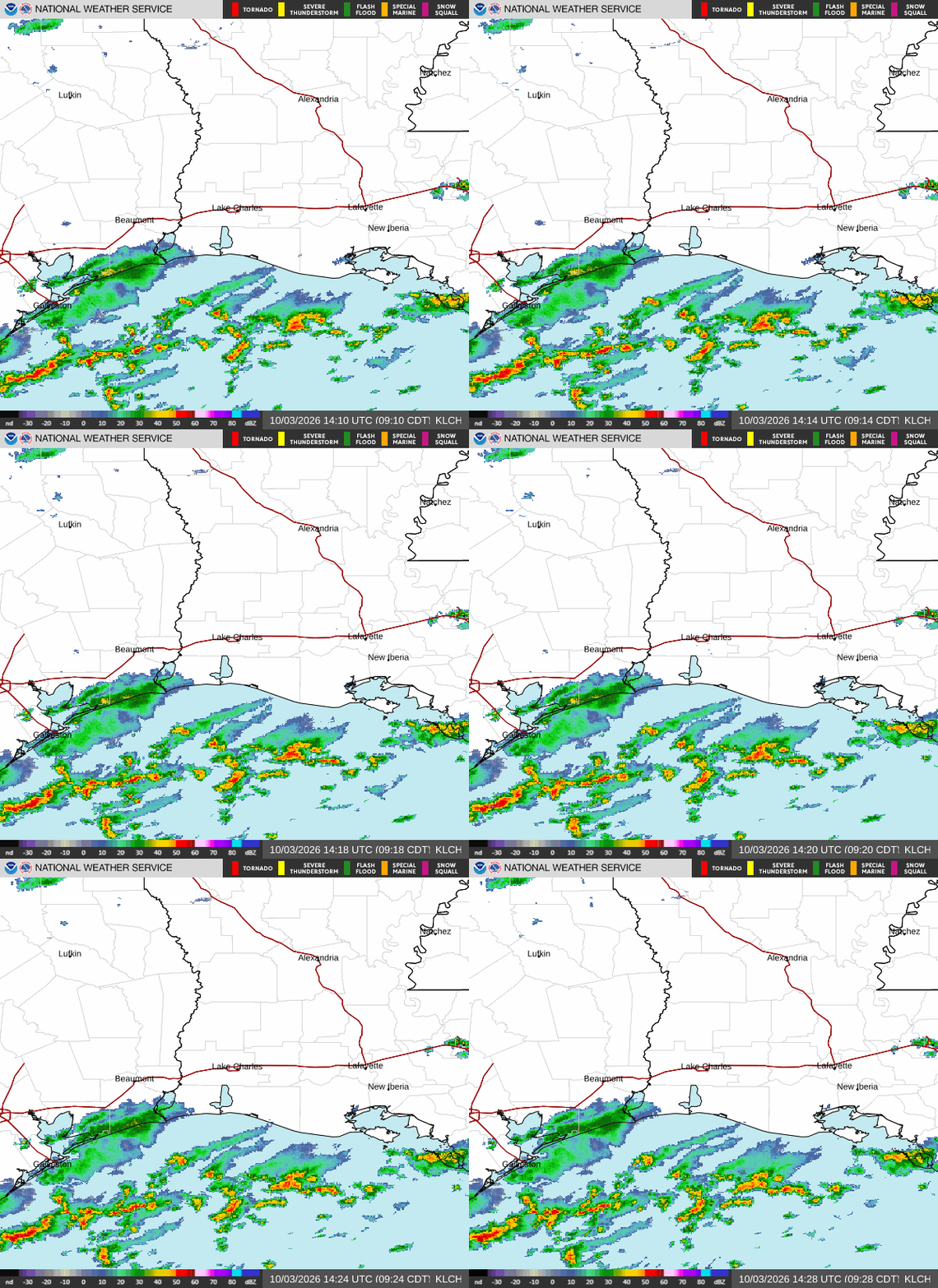
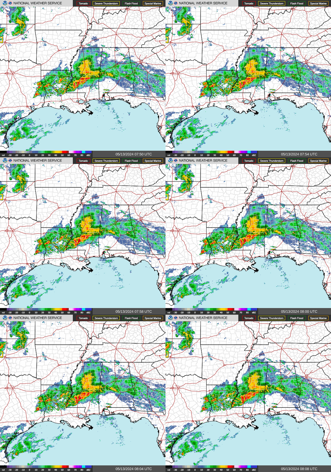
Edouard is well formed for a tropical storm. Looking at the radar signature, I've seen hurricanes that didn't look as good as this storm does. It is a small storm which along with the conducive conditions in the Gulf of Mexico should help it get even better organized in the short window it has before coming onshore. It might approach minimal hurricane status before all is said and done.
 
It really has looked GREAT structurally for the most part outside of about a 6 hour stretch (not 100% sure as I wasn't constantly looking) since yesterday morning. That period may cost it hurricane status just before landfall today and may mean no Atlantic basin hurricanes into the middle of September at the rate we're going.
 
Edouard is well formed for a tropical storm. Looking at the radar signature, I've seen hurricanes that didn't look as good as this storm does. It is a small storm which along with the conducive conditions in the Gulf of Mexico should help it get even better organized in the short window it has before coming onshore. It might approach minimal hurricane status before all is said and done.
Gulf of America I think it’s called now.
 
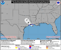
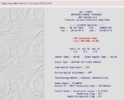
Tropical Storm Edouard Tropical Cyclone Update
NWS National Hurricane Center Miami FL AL052026
1100 AM CDT Tue Sep 01 2026

...CENTER OF EDOUARD APPROACHING THE COAST...
...1100 AM CDT POSITION UPDATE...

WSR-88D radar data from Lake Charles, Louisiana, and Houston, Texas,
indicate that Edouard's maximum sustained winds remain near 50 mph
(85 km/h).

A National Ocean Service station near Calcasieu Pass, Louisiana,
(CAPL1) recently reported a wind gust to 39 mph (63 km/h).

SUMMARY OF 1100 AM CDT...1600 UTC...INFORMATION
----------------------------------------------
LOCATION...29.5N 93.4W
ABOUT 20 MI...30 KM SSW OF CAMERON LOUISIANA
ABOUT 40 MI...65 KM ESE OF PORT ARTHUR TEXAS
MAXIMUM SUSTAINED WINDS...50 MPH...85 KM/H
PRESENT MOVEMENT...NW OR 305 DEGREES AT 8 MPH...13 KM/H
MINIMUM CENTRAL PRESSURE...1000 MB...29.53 INCHES
 
It has probably made landfall, I'd imagine.

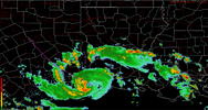
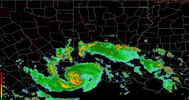
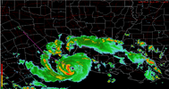
Interesting storm in the end here. Considering the way it has worked, it's definitely just a strong TS at most, but you can argue that the radar almost looks micro cane esque.

I've been watching it for the day on radar up to now at my work that isn't really very "with it" but mentally sapping.
 
It has probably made landfall, I'd imagine.

Interesting storm in the end here. Considering the way it has worked, it's definitely just a strong TS at most, but you can argue that the radar almost looks micro cane esque.

I've been watching it for the day on radar up to now at my work that isn't really very "with it" but mentally sapping.
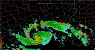
Yea no official declarion yet, but it's either made landfall or in the process of.

Looks like with the way this strengthened, Eduoard will make it past 24 hours despite not having much real estate to work with. He made a really good effort in a short amount of time.
 
Tropical Storm Edouard Tropical Cyclone Update
NWS National Hurricane Center Miami FL AL052026
225 PM CDT Tue Sep 01 2026

...EDOUARD MAKES LANDFALL NEAR JOHNSON BAYOU, LOUISIANA...

WSR-88D radar data from Lake Charles, Louisiana, and Houston,
Texas, indicate that Edouard made landfall near Johnson Bayou,
Louisiana, at 220 PM CDT (1920 UTC). Maximum sustained winds are
estimated to be 60 mph (95 km/h).

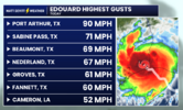
A National Ocean Service station near Texas Point, Texas, (TXPT2)
recently reported a sustained wind of 57 mph (93 km/h) and a wind
gust to 71 mph (114 km/h).


SUMMARY OF 220 PM CDT...1920 UTC...INFORMATION
----------------------------------------------
LOCATION...29.7N 93.8W
ABOUT 15 MI...25 KM SSE OF PORT ARTHUR TEXAS
ABOUT 30 MI...50 KM WSW OF CAMERON LOUISIANA
MAXIMUM SUSTAINED WINDS...60 MPH...95 KM/H
PRESENT MOVEMENT...NW OR 305 DEGREES AT 8 MPH...13 KM/H
MINIMUM CENTRAL PRESSURE...996 MB...29.41 INCHES
 
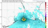
The Weather Prediction Center will continue to provide updates as long as the system remains a flood threat.

4:00 AM CDT Wed Sep 02

Location: 30.8°N 95.0°W
Moving: NNW at 5 mph
Min pressure: 1004 mb
Max sustained: 35 mph

Tropical Depression Edouard Discussion Number 8
NWS Weather Prediction Center College Park MD AL052026
400 AM CDT Wed Sep 02 2026

Rainfall forecasts for the United States can always be found at
and outlooks of flash flood risks can be found at

For a list of rainfall observations (and wind reports) associated
with Edouard, see the companion storm summary at WBCSCCNS5 with the
WMO header ACUS45 KWBC or at the following link:
www.wpc.ncep.noaa.gov/discussions/nfdscc5.html.

Key Messages:

1. Wind gusts to tropical-storm force are likely near the center of
Edouard for the next several hours.

2. As the depression lifts slowly to the north-northwest, heavy rain
bands from Edouard will begin to pull north of the Upper Texas coast
and southwest Louisiana Wednesday morning, while slowly tracking
across east-central Texas through Thursday morning. Flash flooding
is likely across this region, especially in urban areas. Significant
flash flooding is possible. River flooding may also be possible.


FORECAST POSITIONS AND MAX WINDS

INIT 02/0900Z 30.8N 95.0W 30 KT 35 MPH
12H 02/1800Z 31.4N 95.5W 25 KT 30 MPH...INLAND
24H 03/0600Z 32.4N 96.1W 20 KT 25 MPH...POST-TROP/REMNT LOW
36H 03/1800Z...DISSIPATED
 
Back
Top