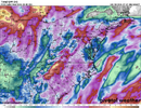
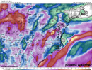
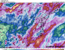
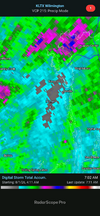
NWS is all giddy up for today. See if they can get one right here.
KEY MESSAGE 1...
Numerous showers and thunderstorms with areas of
heavy
rainfall remain possible today, with the greatest chance from
our southwest sections NE to the Triad and Triangle regions and
along the Virginia border. This will lead to a risk of
isolated
flooding.
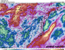
Confidence is increasing in the potential for heavy downpours within
showers and storms today. The current mid level pattern features a
weak
closed low over GA, while an offshore-centered
anticyclone
extends ESE toward the Southeast coast, and the
westerlies remain
displaced well to our N. This is leading to a steady SSE-to-NNW
flow
of moist and perturbed mid level
flow across central
NC, which will
persist today through tonight as the low drifts N toward far SW
NC.
At the surface, a nearly stationary frontal zone stretches from the
FL Panhandle across GA, the
NC Foothills, and south-central and
eastern VA. This
front is
likely to waver today as it succumbs to
the whims of convective outflows and subtle mid level disturbances,
but overall it should remain near or just NW of our N and W
CWA
borders today/tonight. That keeps us in the
warm sector, with a
plume of high
PW (130%-140% of
normal), especially over eastern and
northern sections this afternoon and evening, with the high-
PW area
shifting N into VA overnight. While fairly high cloud cover for much
of the day will curb
insolation amidst mid level lapse rates mostly
under 6
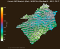
C/km, even modest heating of an already-
muggy low level
depth will still favor
CAPE of 750-1500
J/kg, with minor waves aloft
riding over our area supporting above-
climo coverage of showers and
storms today.
In addition to the high
PW and bouts of weak dynamic forcing for
ascent, other factors will exist which will favor a risk of
localized flooding rains. These include a high warm-cloud (
LCL-0C)
depth of 4-4.5 km (favoring efficient warm rain processes), a
somewhat slow
cell motion (expected to be under 15
kts), possible
training cells, and an added focus for ascent provided by outflows
and confluent
flow along the low-mid level
shear axis,
likely to be
oriented SW-to-NE through the
CWA, roughly from near CLT to near
IXA. The recent rain surplus has also led to damp or nearly
saturated soils (
rainfall at GSO/FAY/RDU in the last two weeks is
200%-300% of
normal). Will not issue a
flood watch at this time, due
to the expected limited coverage of the heavy downpours and the
lingering uncertainty regarding exactly where the heavy rain might
be focused. But if localized heavy rain does fall as expected, in
particular over urban areas and highways,
flood advisories or
warnings may still be needed.