-
Hello, please take a minute to check out our awesome content, contributed by the wonderful members of our community. We hope you'll add your own thoughts and opinions by making a free account!
You are using an out of date browser. It may not display this or other websites correctly.
You should upgrade or use an alternative browser.
You should upgrade or use an alternative browser.
Pattern Fab Feb
- Thread starter SD
- Start date
lexxnchloe
Member
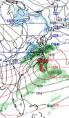
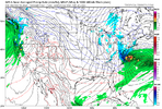
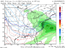
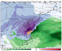
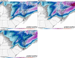
GFS and CMC too far offfshore
lexxnchloe
Member
Annoying how close this this weekend is to actually being something
Even more annoying is this would be a score one in an overall crappy pattern.
Even more annoying is this would be a score one in an overall crappy pattern.
Last edited:
NCHighCountryWX
Member
- Joined
- Dec 28, 2016
- Messages
- 699
- Reaction score
- 1,918
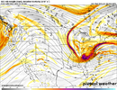
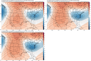
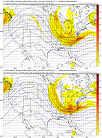
More amplitude out west and we have a big one here. It'll be interesting to see how this plays out though, models are shifting that blob of convection and the baroclinic zone south so the low has drifted SW at bit. If this thing goes full rapid nuke you, Ross, and the moyock dude might get smoked hereHot off the press and um.....
View attachment 194240
AI euro makes a lot of sense vs the jumpy ops where the low originates near the Sunday convective blob then rides ENE to the coast then more NE offshore.
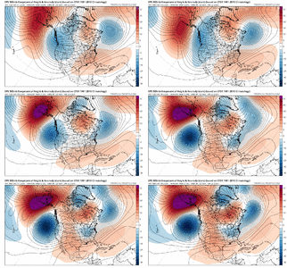
No way we get any extended warm ups with a jumbo trough North of us like this. This has been the theme all Winter. Cold bottles up in Canada for a period & then shifts that long range modeling don't pick up begin to occur in the 7-14 day range. This happened in late Dec & early January & then the second half of You can already see more troughs setting up on the Euro to round off February & getting into early March. 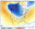
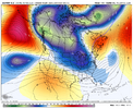
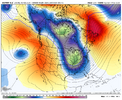


At Baltimore, a good representative location for the E coast and thus the only city I did the calculations for due to it being time consuming, phase 3 has been the coldest MJO phase by a good margin when averaged out day by day during the 20 La Niña Februaries since 1975. It has averaged 4 F colder than the avg anomaly for all 566 Feb Niña days since 1975. Keep in mind that Feb Niña averaged ~2 AN, which is intuitive.
Were there any notable wintry events at RDU and GSO during Feb La Niña phase 3? Yes, there were some although none since 1996. Interestingly, these 4 were during 4 La Niñas in a row but then none since:
-2/6/84: 6.9”/3.8” RDU/GSO); PNA +0.7; NAO +1.1
-2/5/85: ~0.5” moderate ZR; PNA -0.7; NAO -1.0
-2/23/89: 2.2”/3.3” RDU/GSO; PNA -0.4; NAO +1.1
-2/2/96: major ZR; PNA +0.7; NAO -0.4
Regardless, a GEFS progged strong -PNA (<-1) would make it a challenge even though far from impossible to get something significant. Since 1950, I’ve been able to find only 3 notable NC wintry events during a sub -1 PNA: so it’s been pretty rare though this shows it could happen
1/9-10/1968: PNA -1.2 major ZR especially CLT area
12/31/1981 PNA -1.8 major ZR
2/12-13/2014 PNA -1.1 major snow
The NAO is forecasted by GEFS to be ~+0.8 to +1.0, not really much of a negative factor per the four notable phase 3 Feb Niña events listed above.
There is -EPO/-WPO forecasted, which can’t hurt. AO forecast is ~neutral.
LukeBarrette
im north of 90% of people on here so yeah
Meteorology Student
Member
2024 Supporter
2017-2023 Supporter
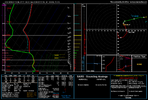
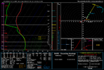
things that make you go hmmmView attachment 194245
Huh thats interesting
LukeBarrette
im north of 90% of people on here so yeah
Meteorology Student
Member
2024 Supporter
2017-2023 Supporter
You have a real chance to see some backend thumping from this system.things that make you go hmmm
CNCsnwfan1210
Member

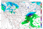
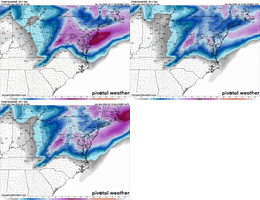
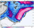
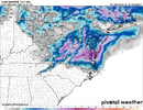
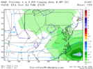
Nice moves by the GFS over 3 runs
Sent from my iPhone using Tapatalk
- Joined
- Jan 23, 2021
- Messages
- 4,602
- Reaction score
- 15,197
- Location
- Lebanon Township, Durham County NC
The next February system is trying to make lemonade out of lemons considering the terrible pattern that is out there. I don't have my hopes up but it is not out of the question that the Piedmont of North Carolina could at least see some token flakes from this as the storm pulls away.
Brandon10
Member
Honestly....different system synoptically...but the low developing that close to the VA coastline and the strong deform band reminds me of the Jan 31st event....event did not really get going for coastal plain until the low developed off Wilmington then bombed. Could this one continue trending south and do the same (much smaller scale IMO)? IMO this has potential to be a NE NC/Eastern VA surprise
Last edited:
Tsappfrog20
Member
Iceagewhereartthou
Member
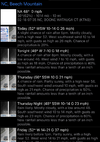
In the meantime, this week is showing some rare air for my area. High of 76 isn't normal until the end of April and a low of 60 isn't normal until late May. I don't think there is any way my areas sees anymore wintry weather this year, unless we get something truly historic in March, but North of I-40 and Eastern NC guys may be able to get another score.
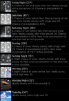
Today
Mostly cloudy, with a high near 67. Southwest wind 14 to 16 mph, with gusts as high as 26 mph.
Tonight
A slight chance of rain between 3am and 4am. Cloudy, with a low around 55. Southwest wind 6 to 9 mph. Chance of precipitation is 20%.
Thursday
A chance of rain between 7am and 1pm. Cloudy, then gradually becoming mostly sunny, with a high near 72. Southwest wind 6 to 13 mph, with gusts as high as 23 mph. Chance of precipitation is 30%.
Thursday Night
A 30 percent chance of rain, mainly after 3am. Mostly cloudy, with a low around 60. Southwest wind 7 to 13 mph, with gusts as high as 23 mph.
Friday
A 50 percent chance of rain before 1pm. Partly sunny, with a high near 76. Southwest wind around 14 mph, with gusts as high as 24 mph.
Friday Night
A 40 percent chance of rain, mainly after 1am. Mostly cloudy, with a low around 52.
Saturday
Rain likely, mainly between 8am and 1pm. Mostly cloudy, with a high near 65. Chance of precipitation is 60%.
Saturday Night
A 50 percent chance of rain. Mostly cloudy, with a low around 44.
Sunday
Mostly sunny, with a high near 56.
Sunday Night
Mostly clear, with a low around 28.
Monday
Sunny, with a high near 49.
Monday Night
Mostly clear, with a low around 25.
Tuesday
Sunny, with a high near 52.
CNCsnwfan1210
Member
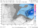
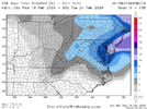
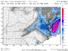
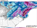
A couple more tweaks and this would put more of NC in the game
Sent from my iPhone using Tapatalk
Prestige Worldwide
Member
I wouldn’t mind that scenario in coastal De- lol. Eye candy for sure
lexxnchloe
Member
Looks like NENC will cash in
CNCsnwfan1210
Member

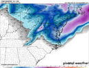
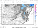
Great trend on the GEFS over the past 3 days
Sent from my iPhone using Tapatalk
Need a deeper dig, get transfer further south off the coast of SC. Been trending that way, but we need more. Cant have the transfer up off the Delmarva. Then we need it to rapidly explode early on, not when its parallel with our longitude.How far west can it come?
Euro Op is stuck on hr 84

