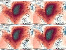
-
Hello, please take a minute to check out our awesome content, contributed by the wonderful members of our community. We hope you'll add your own thoughts and opinions by making a free account!
You are using an out of date browser. It may not display this or other websites correctly.
You should upgrade or use an alternative browser.
You should upgrade or use an alternative browser.
Wintry Machine Learning Mauler 1/30-2/1
- Thread starter SD
- Start date
WolfpackHomer91
Member

“Experience and Pattern Recognition tells me this has that look even this early”. For those not in this area…… 4-6 on The meter is a big deal I’ve seen 7+ 2x in like 15yrs. Dec 2018/Feb2014
Sent from my iPhone using Tapatalk
Bigedd09
Member
Icon

Sent from my iPhone using Tapatalk

Sent from my iPhone using Tapatalk
iGRXY
Member
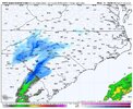
ICON still hasn’t gotten a clue lmao
My roommate brought it up to me by saying "I do not care what you or anyone else says. It's not happening"Lol at the poor tv mets an nws tommorrow having to start telling public a 1 foot plus snowstorm is heading our wAy. Starts in 48 hours
Brandon10
Member
Arent we all. It did so much better 3 or 4 days out last time vs this so far.ITS TIRED FROM THIS LAST EVENT.
Teach Lesley
Member
This has been the best couple of weeks of winter the last couple years. Suck it up and let’s go.
Stormsfury
Member
It closed off a low in Ohio, not Missouri...ICON still hasn’t gotten a clue lmao
Brandon10
Member
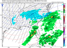
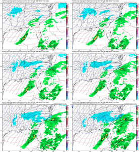
RGEM looks more reasonable surface reflection vs NAM given thermals. Better for most. 540 is creeping northward but still off coast at 84.
Forevertothee
Member
GSP
Key message 3: Snow chances continue to gradually increase for this
weekend in association with likely development of low pressure off
the Carolina coast. If snow were to fall, impacts to travel can be
expected due to the cold temperatures prior to onset.
The main focus of the forecast will be for increasing snow potential
this weekend. Guidance is in good agreement in depicting several key
synoptic features, but their eventual timing and evolution will
heavily dictate what transpires across the region. Starting off on
the hemispheric scale, our primary feature of interest is a strong
Tropopause Polar Vortex (TPV) currently on the south side of the
Hudson Bay as noted by anomalously high pressure on the 2 PVU
surface. This feature is rotating around a much larger gyre and is
forecast to move west towards the Canadian Prairies tomorrow into
Thursday before dropping across the Northern Plains into the Midwest
late Thursday into Friday. This potent arctic trough will quickly
evolve from a strong positive tilt to a neutral tilt by Saturday as
an intense upper low closes off. At the same time, a tall western
ridge builds from the Great Basin through the Cascades while a
second piece of energy drops out of the Rockies and into the
Southern Plains. A subtropical jet will also extend from the eastern
Pacific across the Gulf States. Eventually, a coastal low will
likely develop along the East Coast.
Cold air will be readily available and supportive of a mainly snow
event with any precipitation that occurs, however, the timing and
evolution of these features will be key as to the magnitude of any
snowfall. To realize a higher-end snowfall, snow lovers will want to
see the arctic trough trend farther west and dig over the Deep South
and phase with the second piece of energy dropping over Texas. This
would also favor the development of a Gulf low along coastal
baroclinic zone and a classic Miller A event. Another scenario
exists where the troughs do not phase, the arctic trough is too far
east, and the coastal low develops too far off the east coast and
remains far enough offshore to leave us moisture starved. And
thirdly, should the upper low close off over our area it could
support a few inches of snow regardless of how the coastal low
evolves. Expected temperatures will be cold enough that even an
inch or two of snow could prove hazardous on roads. Thus, while the
trend is towards at least some degree of accumulating snowfall, the
forecast is far from certain and could trend either way through the
week. The reader is strongly encouraged to check the latest forecast
each day for updates.
Xlhunter3
Member
B
Yeah this thinks about to bring around a swatch of moisture up thru all GA and into Carolinas alot of us win here if continued
According to the 00z RGEM we(ATL area)are soundly in the game.I think we will be in the game!
According to the 00z RGEM we(ATL area)are soundly in the game.
Yep, you want the northern stream to delay slightly and allow the phase to amplify the surface low, and therefore delay its eastward progression such that the moisture on the western backside will convert to (hopefully) stronger & perhaps lengthier precipitation.
Even the slightest of northern ticks will help, especially at this range.
iGRXY
Member
RGEM would’ve smoked North Georgia and the western Carolinas off the ULL alone. The coastal would’ve given some huge totals across the Piedmont and 77 corridor in NC if that run had continued
Agreed that is the solution that would be a win for a large chunk of membersRGEM would’ve smoked North Georgia and the western Carolinas off the ULL alone. The coastal would’ve given some huge totals across the Piedmont and 77 corridor in NC if that run had continued
trackersacker
Member
RGEM probably a harbinger of the CMC right?
It is definitely in its long, unreliable range, but it is certainly an improvement over its prior run.
RGEM moving precip east to west (backwards!) again here in NC/SC That’s a dynamic lookRGEM would’ve smoked North Georgia and the western Carolinas off the ULL alone. The coastal would’ve given some huge totals across the Piedmont and 77 corridor in NC if that run had continued
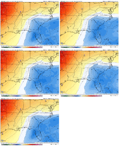
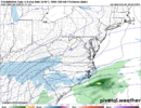
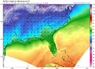
Surface temperatures at the end of the run
wow
Member
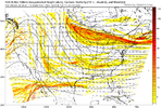
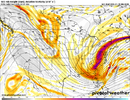
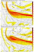
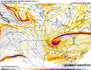
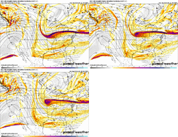
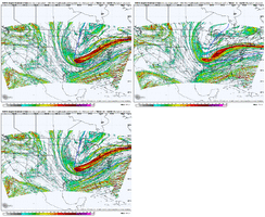
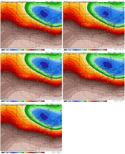
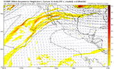
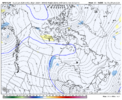
Off of preliminary looks it appears the trough is more stretched to the NW at F+027. Just waiting for the rest of the run to go through, though.GFS running now
- Joined
- Nov 29, 2021
- Messages
- 42
- Reaction score
- 144
See those precip waves rolling onto the se nc coast moving northwestward. About to produce bigly as they amplify inland. That's how I saw the Jan 2000 storm behave. Got raked with those for hour upon hour as coastal LP just blew upRGEM moving precip east to west (backwards!) again here in NC/SC That’s a dynamic look
View attachment 190351
Surface temperatures at the end of the run
This is going to be a really good gfs run
Bigedd09
Member
Starting off as rain for many on GFS

Sent from my iPhone using Tapatalk

Sent from my iPhone using Tapatalk
mx3gsr92
Member
This is going to be a really good gfs run
For whom?
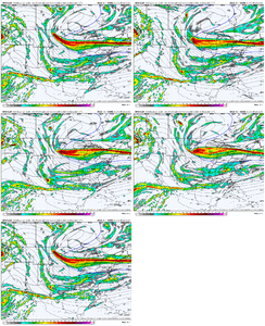
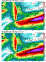
Doubt it has the new dropsonde data . Ukmet may or may not as wellICON still hasn’t gotten a clue lmao
View attachment 190356
Pretty consolidated so far. Awaiting precip/SLP maps.
It also appears the energy located in New Mexico is ticking slightly further west. That may affect where the low does amplify at.
