NCHighCountryWX
Member
- Joined
- Dec 28, 2016
- Messages
- 699
- Reaction score
- 1,918
It's been a long time since I've seen a KRDU text forecast with percentages that high more than five days before a potential winter storm.I live in Wake County 4 miles West of Morrisville and 1 mile East of the Chatham County line. Here is the forecast the Raleigh NWS office out for here. I can't remember the last time if ever I've seen this 5-6 days out before.
Friday Night
A chance of rain and snow after 1am. Mostly cloudy, with a low around 27. Chance of precipitation is 40%.
Saturday
Snow likely. Mostly cloudy, with a high near 36. Chance of precipitation is 60%.
Saturday Night
Snow likely. Mostly cloudy, with a low around 18. Chance of precipitation is 60%.
Sunday
A chance of snow. Mostly cloudy, with a high near 30. Chance of precipitation is 50%.
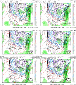
Can clearly see why Euro AI ens shifting more north and probably will continue
View attachment 185514
Google was solid at day 5 tooJust for reference…the Euro AI was money at day 5 and took Euro longer to finally get there for yesterdays event
Today/tonight runs will be day 5 out
View attachment 185523View attachment 185524
I doubt that. It wants to snow in the deep south, look at last year and yesterday. It’s just your time.Probably trending most of AL out of this event.
There would probably be very little ZR in what the 0z EURO was showing for our area. Those 925s are well below freezing the entire run. It would be a lot of sleet, quite possibly several inches of itOver an inch FR and close to a half of sleet, no thanks at all.
I doubt that. It wants to snow in the deep south, look at last year and yesterday. It’s just your time.
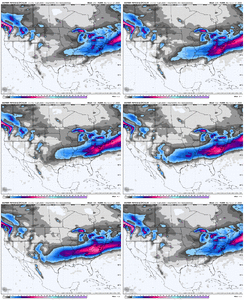
After seeing how well the AI models did for yesterday as seen above….they look mostly in agreement at day 6. For many of us it looks we will be battling some ice
View attachment 185530View attachment 185531
The problem with that post is if you just look at the snow map, you're thinking, nothing burger. But it's disingenuous because no mention of the possible major ice storm south of that snow map.View attachment 185529
This fella here is going to be super pissed if this trends south.
Its trended this far north already?After seeing how well the AI models did for yesterday as seen above….they look mostly in agreement at day 6. For many of us it looks we will be battling some ice
View attachment 185530View attachment 185531
I already muted him because I knew he was gonna post really annoying stuff like thatView attachment 185529
This fella here is going to be super pissed if this trends south.
That’s what I said. Many of us will be battling ice.I’m still open to thinking anything is possible. This is a very strong CAD set up and yesterday wasn’t. We haven’t had a strong CAD set up in a very long time and not sure how AI’s handle that
Sent from my iPhone using Tapatalk
So according to the AI models no snow in North Carolina? Sleet and Ice Storm?
IDK. This is a much different set up than yesterday’s system and what the AI models are showing kinda fits into some of their tendencies at this range. Both are pumping the SER too much which torching the 850s over the top of the CAD. Pumping the SER too much has been a tendency of the AI models.After seeing how well the AI models did for yesterday as seen above….they look mostly in agreement at day 6. For many of us it looks we will be battling some ice
View attachment 185530View attachment 185531
I don’t want to believe it either and hope the good ole Euro and GFS are rightIDK. This is a much different set up than yesterday’s system and what the AI models are showing kinda fits into some of their tendencies at this range. Both are pumping the SER too much which torching the 850s over the top of the CAD. Pumping the SER too much has been a tendency of the AI models.
I don’t want to believe it either and hope the good ole Euro and GFS are right
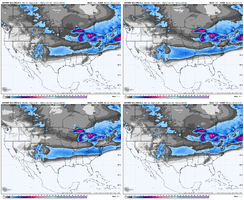
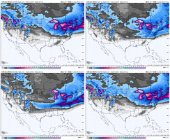
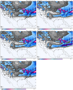
Looks icy
Man all I need to see is that HP up north and strong CAD signal down into SC, that's a doozy
This is pretty icy but i think NW NC Foothills are largely snowing with this look, even with 10-5 thicknesses above 540. Probably mixing some. If you can keep your thicknesses below 552 or so you have a shot to keep it all snow
