Brent
Member
30" of rain in Texas this run
It's not too strong at landfall(probably a TS) but yeah slows to a crawl in TX later
It's not too strong at landfall(probably a TS) but yeah slows to a crawl in TX later
30" of rain in Texas this run
It's not too strong at landfall(probably a TS) but yeah slows to a crawl in TX later


Not a forecast, at all, just an observation and a bit of perplexion ...

Thanks for the clarification ...Code Orange
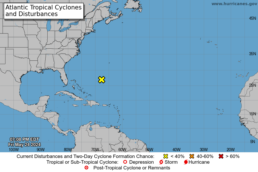
Disorganized showers and thunderstorms over the southeastern and
central Bahamas, the Turks and Caicos Islands, and adjacent
Atlantic waters are associated with a tropical wave and an
upper-level trough. This activity is expected to move
west-northwestward across the remainder of the Bahamas and south
Florida during the next day or so and little, if any, development
is expected during that time due to strong upper-level winds.
Environmental conditions are expected to become a little more
favorable for development when the system moves across the Gulf of
Mexico, where a tropical depression could form during the early to
middle part of next week. Regardless of development, heavy rains
are likely across much of the Bahamas and southern Florida during
the next day or two. See products from your local weather forecast
office for more information.
* Formation chance through 48 hours...low...20 percent.
* Formation chance through 5 days...medium...50 percent.
that'a separate thing entirely that will be inland tomorrow and Monday as far as I can tell... the 60% comes from when this gets into the Gulf next week
2. A tropical wave located along the west coast of Africa is forecast
to move westward over the far eastern tropical Atlantic for the next
several days. Upper-level winds are expected to gradually become
more conducive for some slow development of this disturbance by the
middle of the week.
* Formation chance through 48 hours...low...near 0 percent.
* Formation chance through 5 days...low...20 percent.
Lordy, FS, We're gonna need a new job description maintaining Wiki at this rate ... LOL ...Hello new X
Not to mention the train of lows has begun and they have a higher chance of making it farther west as well.Getting busy now. Gulf is under the gun, and who knows where Florence will go.
Don't wanna clutter up here, but that train has been loading at the station for about 10 days, and the locomotive has since left the yard with all the cars coupled up ...Not to mention the train of lows has begun and they have a higher chance of making it farther west as well.


.jpg")
Seems just like yesterday we were asking "is the Atlantic going to wake up?"
