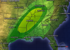
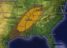
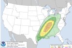
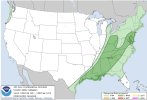
Going to go ahead and start this. Some HSLC potential
-
Hello, please take a minute to check out our awesome content, contributed by the wonderful members of our community. We hope you'll add your own thoughts and opinions by making a free account!
You are using an out of date browser. It may not display this or other websites correctly.
You should upgrade or use an alternative browser.
You should upgrade or use an alternative browser.
Severe Severe Threat Dec 10-12 2021
- Thread starter SD
- Start date
StormWatch
Member
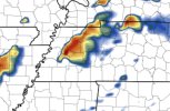
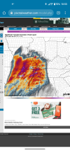
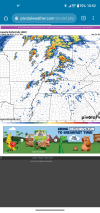
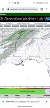
I'm starting off in this thread by introducing the mmfs - mesoscale model and forecast system. (I'll elaborate more on the mmfs in the Whamby thread soon.) For us in North GA, the mmfs is showing the squall line holding together as it progresses east, and storms after the main line. There would be strong straight line winds with the squall as the model is indicating a sharp cut off along the squall. This is a long range mesoscale model and of course it can change. The frame from the model is valid at 23z (6pm) this Saturday.
Edit: The 0z data is coming in now.

Edit: The 0z data is coming in now.

Last edited:
StormWatch
Member
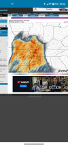
The new data from the mmfs is indicating cells ahead of the cold front along the MS River and northeast from there into TN. This is valid at 08:00UTC (3am) Saturday. The mmfs is indicating that these cells would have rotation - introducing tornado and high wind risk. The model is still indicating a squall line developing as the front pushes east. For the NC friends, the mmfs is indicating a storm risk, but the higher chance of storms would be mostly west of the mountains.


HSVweather
Member
tennessee storm
Member
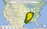
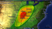
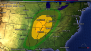
Midsouth Memphis to Nashville under a enhanced risk tomorrow evening. With hatched 10 percent tornado risk … see how today’s runs go if instability is slightly underdone a upgrade to moderate risk could follow latter outlooks lower level jet looks to be screaming overnight hours tomorrow nite won’t help things
HSVweather
Member
Brent
Member
Fountainguy97
Member
cd2play
Member
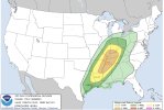
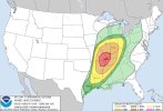
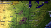
Wondering if we see upgrades to moderate risksBig tornado hatch tomorrow night... Mentioning long lived tornadoesView attachment 97348
Z
Zander98al
Guest
Wow. Been so busy lately I didn't realize there was a bad threat today. SIG TOR and EHI are bonkers. Along with the isolated kidney beans showing up on radar across the Memphis area and north. Following the Mississippi. Big day today. Very large area for strong convection and violent updrafts it appears
Z
Zander98al
Guest
Z
Zander98al
Guest
Drscottsmith
Member
This is probably a poor question and I apologize...is. the main threat for this so far west that we can't start an observation thread for this event?
Z
Zander98al
Guest
Still affecting a majority of group members here so it isn't much of a observation type thread. From Alabama north and Northwest looks to be affected in some capacity.This is probably a poor question and I apologize...is. the main threat for this so far west that we can't start an observation thread for this event?
Z

