
Potential gulf system


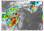


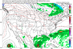

978 mb now.After a few mediocre runs, the 12Z GFS early on is, let's say, concerning.
View attachment 198448
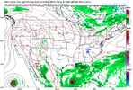
Tight core. This is very different from what the model has been looking like. Combined with Google DeepMind...Oh, boy.978 mb now. View attachment 198449
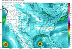
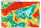
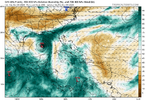

Yeah the shear going to do her work. Getting lucky again
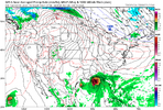
And then, there looks to be enhancement by the jet stream as it begins the transition to extra-tropical. Can't sleep on this one.Yeah the shear going to do her work. Getting lucky again
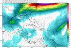
Rain makerAnd then, there looks to be enhancement by the jet stream as it begins the transition to extra-tropical. Can't sleep on this one.
View attachment 198454

Lol we'll watch it dissipate right as it gets to the NC line.Rain maker
I’ll get dry slotted the whole time.Lol we'll watch it dissipate right as it gets to the NC line.


Would love for this to hold together enough to get a lot of rain.
