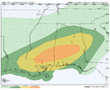
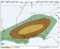
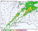
-
Hello, please take a minute to check out our awesome content, contributed by the wonderful members of our community. We hope you'll add your own thoughts and opinions by making a free account!
You are using an out of date browser. It may not display this or other websites correctly.
You should upgrade or use an alternative browser.
You should upgrade or use an alternative browser.
Severe 2/12-14 Severe
- Thread starter SD
- Start date
BufordWX
Member
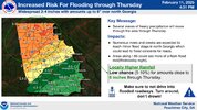
Yeah FFC just expanded the flash flood watchThis is gonna be a big rainmaker as well for AL/GA.
View attachment 168374
BufordWX
Member
Apparently there was a tornado near Pensacola a little bit ago.
Wild
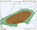
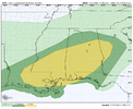
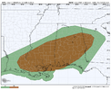
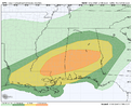
Nothing crazy from Nadocast but this could be a mildly significant event
Man still uptrending. No way we get a moderate today right?
Darklordsuperstorm
Member
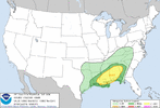
I feel like the slight risk is way to far north. A lot of work needs to be done to get severe weather that far north.
Darklordsuperstorm
Member
Darklordsuperstorm
Member
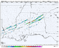
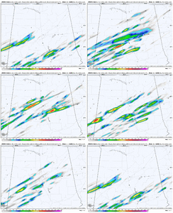
It's been low 50s with rain/drizzle all day In that area all day. The atmosphere is going to have to recover a lot to get severe storms that far north. The warm Front has not moved much at all today.HRRR continues to highlight the area near Birmingham and south for some UH tracks this evening. Curious if we actually get rotating storms so far north. Maybe keying on some interaction near the warm front?
View attachment 168505
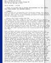
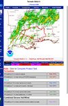
Yeah I tend to agree with you. Definitely think the area you highlighted a few posts above is at the highest risk. New SPC outlook in an hour or soIt's been low 50s with rain/drizzle all day In that area all day. The atmosphere is going to have to recover a lot to get severe storms that far north. The warm Front has not moved much at all today.
Last few runs of the HRRR has kept the warm sector pretty confined to south Alabama
BufordWX
Member
BufordWX
Member
BufordWX
Member
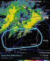
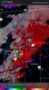
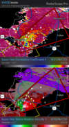
PDS warned now. Tornado near Coffeeville.Storm in SW Alabama is strengthening quickly. If it stays in the unstable environment it could pose problems.View attachment 168561
BufordWX
Member
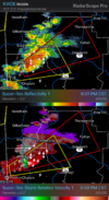
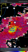
Storm looks like it is weakening, but something got hit earlier as there is quite a bit of debris fallout showing up.PDS warned now. Tornado near Coffeeville.View attachment 168562
BufordWX
Member
BufordWX
Member
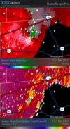
Not warned and CC is so/so. But I would not be surprised if a weak tornado is on the ground west of Eclectic.
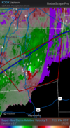
Impressive supercell putting out near constant lightning here.
Impressive supercell putting out near constant lightning here.
CHA has logged 35 consecutive hours with rain (and still going). Storm total so far is 3.38", all of it with temps between 43 and 48. Very good nap weather though the last couple of days, that's for sure.

