• Hello, please take a minute to check out our awesome content, contributed by the wonderful members of our community. We hope you'll add your own thoughts and opinions by making a free account!

Pattern NC Only Thread

Its very likely many in this area strike out today. Pretty disappointing outcome from the setup. Now it's wait 6-7 more days with highs getting back near 100
I don't even know what to think about tonight. Hrrr and 3k both give me a shot at rain woth the 3k nam showing a big line around 9pm dropping down from the north. The hrrr doesn't show that and has some lighter showers and storms approaching from the west.not the clearest picture by any means being put out by the models
 
Its very likely many in this area strike out today. Pretty disappointing outcome from the setup. Now it's wait 6-7 more days with highs getting back near 100
That's par for the course for areas in Wake County south of Interstate 40. I've received .33 inches of rain this week despite numerous chances for showers and thunderstorms almost every day. I think the 70% percent rain chance for tonight and tomorrow that RDU is forecasting will leave us with little or nothing to show for it.
 
I see one storm E of Cumberland (kinda) and some slight stuff E of Pitt, but other than that, it ain't looking great at the moment.
To be fair the models don't really crush me until 9-10pm tonight so I'm not concerned at the moment. I'm also sitting okay with that surprise 1/2 inch the other night
 
To be fair the models don't really crush me until 9-10pm tonight so I'm not concerned at the moment. I'm also sitting okay with that surprise 1/2 inch the other night
Yea, I was going by how radar typically looks this time of day instead of the forecast. Maybe can look back on it later and laugh. Hopefully cause it overperformed and not cause it was foreshadowing.
 
We hit 90 this afternoon and the airs so thick it's unbelievable. Can't see how we don't rain at some point. It's just too.hot and humid and too many pieces of energy, OFB floating around

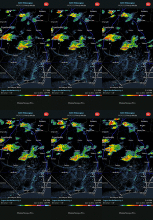
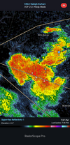
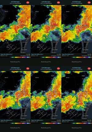
Good example is we are about to see a OFB collision and seabreeze following up over the cape fear region KLTX - Super-Res Reflectivity 1, 5_49 PM.gif
 
0 activity between Rock Hill and Winston. Why? All because we got 5 minutes of clouds this morning? The atmosphere is cucked or something.
 
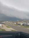
Man what a difference a few miles make. I got dumped on just a few miles east of you
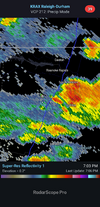
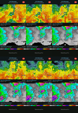
Yeah I was looking at the radarscope data and it has been running a bit high on its estimates but you still got smacked. Literally maybe a mile or so east of me? Just brutal but the night is young and lots of boundaries firing north of us still.

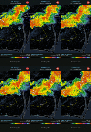
KLTX - Super-Res Reflectivity 1, 8_37 PM.gif
 
Back
Top