-
Hello, please take a minute to check out our awesome content, contributed by the wonderful members of our community. We hope you'll add your own thoughts and opinions by making a free account!
You are using an out of date browser. It may not display this or other websites correctly.
You should upgrade or use an alternative browser.
You should upgrade or use an alternative browser.
Wintry January 23rd-27th 2026
- Thread starter SD
- Start date
LukeBarrette
im north of 90% of people on here so yeah
Meteorology Student
Member
2024 Supporter
2017-2023 Supporter
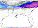
View attachment 185810
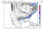
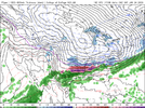
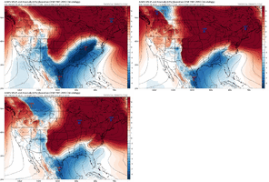
Early on AIGFS still trending cooler, not a significant change but still. Baja is ejecting eastward still.
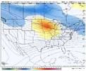
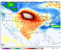
Ok well this is a really interesting change
Xlhunter3
Member
LukeBarrette
im north of 90% of people on here so yeah
Meteorology Student
Member
2024 Supporter
2017-2023 Supporter
ChattaVOL
Member


In-
house model for local tv here.
Sent from my iPhone using Tapatalk
AI GFS has two storms.
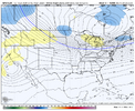
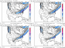
we need that 18z ICON look.GFS kicking off precip a bit earlier further east, generally a touch more robust. No major swings thus far:
View attachment 185820
Mahomeless
Member
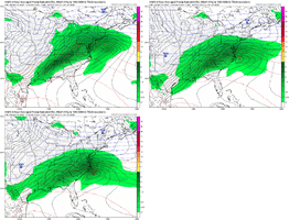
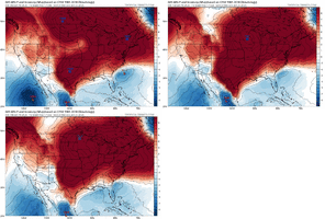
Under modeled HP strength tooView attachment 185817
All we got for now but wow
wow
Member
South shift on the GFS
LukeBarrette
im north of 90% of people on here so yeah
Meteorology Student
Member
2024 Supporter
2017-2023 Supporter
ICON and GFS are lockstep....
This shift south is completely expected at this range, I expect it to go moreso, but as we get closer places will have plenty of precip, even if it starts to dry out on these next few runs
iGRXY
Member
These south trends is why I wasn’t convinced at least the 85 corridor wasn’t going to get significant snow
It's gonna do it again for many places that did well at 12z. No major changes, a southern tick. Move the chains
ForsythSnow
Moderator
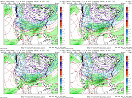
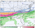
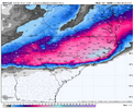
It's going over 24 hours of straight snowfall in N GA so far with it starting 0Z Saturday. Looks to be near 30 to 36 hours of just pure snow in some placesFeels like it’s gonna be tough to get snow in Atlanta with this setup but the GFS is here to challenge that ideaView attachment 185826
rburrel2
Member
This is turning in to a January 88 repeat, like exactly the same foot print.
ForsythSnow
Moderator
wow
Member
This is where I want to be at this point. It's a Jan '88 Part II per the GFS
lexxnchloe
Member
The problem is if it keeps going south soon there wont be a storm, at least for nc/scThese south trends is why I wasn’t convinced at least the 85 corridor wasn’t going to get significant snow
broken025
Member
GFS has snow for like 35 hours straight here. Insane.
ICON and GFS team'd up on the 18z. Hopefully, the 18z EURO will do the same.
beanskip
Member
Interesting combination of more suppressed with precip shield, but actually warmer most areas, esp. central Alabama/Ga. where it's mostly rain. Likely just noise at this range, but still interesting to note.
WXinCanton
Member
bud006
Member
For my location, this would be best-case scenario: no ice, all snow, and lots of it. Jan. 9-10, 2011 replay.It's not even done yet. 0 ice in some areas too.
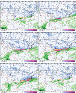
View attachment 185827
—30—
Interesting to note how much quicker the GFS is compared to the Euro getting precip in here
NBAcentel
Member
LongRanger
Member
That may be why NWS GSP was saying Miller A They was expecting a South Trend?These south trends is why I wasn’t convinced at least the 85 corridor wasn’t going to get significant snow
fr, I don’t think we will have a moisture problem but then again….This south trend need too stop now, gfs and icon completely whif the midsouth.
It is January ‘88 plus it has some strengthening of the low once it hits the Atlantic, so that areas further east get hammeredThis is where I want to be at this point. It's a Jan '88 Part II per the GFS
iGRXY
Member

