snowlover91
Member
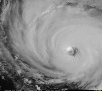
Here is a plot of the 00z EPS from last night with the most recent center position. As you can see the majority of the EPS members are too far SW and Florence is riding the northern edge. I've consistently seen this for at least two days now and it's not just the EPS doing it, the UK ensembles and most other guidance like the HWRF, HMON, etc. have been a bit to the SW just 12 hours out. It may seem like a small difference but for the coast of NC this could have an effect on where Florence stalls and what part of the coast is in the eyewall or near it.


.png")